Mobile mapping tool for river barrier citizen science and restoration
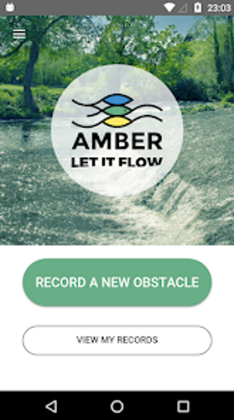
Barrier Tracker V2 from Blue Rivers Foundation is an Android citizen science app that helps volunteers and researchers document artificial river barriers to support restoration efforts. The app lets users capture field observations, submit geolocated records, and contribute to a continental barrier dataset. Key capabilities include mobile reporting, project integration, and multilingual support. It targets community volunteers, students, and environmental researchers who want to gather field evidence for river connectivity projects.
What does the tool actually record in the field?
Barrier Tracker is designed for on-site documentation: it uses GPS-based logging to place each observation precisely and requires a photograph to validate a record, which helps standardize entries. The app supports classification of barrier types so contributors tag structures correctly. These functions turn informal sightings into structured data suitable for scientific inventories by converting a location, image, and type into a single report.
How does it support learning about river connectivity?
The app teaches observational and classification skills by asking users to identify longitudinal and lateral barriers, encouraging attention to structural details and context. An Expert Mode accepts detailed technical fields, which helps advanced learners and researchers practise precise reporting. By performing repeated surveys and classifying features, volunteers gain practical knowledge of fragmentation effects and the criteria used in restoration planning.
Is it accessible to volunteers and community groups?
The developer provides multi-language translations, including Ukrainian and Slovenian, and the app allows anonymous use so newcomers can try reporting without registering. Platform requirements are modest, running on Android devices with version 5.0 or higher. These choices make the tool reachable for community groups and students with basic mobile devices while also offering registered users extended functionality.
How does it show progress and ensure data quality?
Submitted observations feed an online dashboard that displays real-time statistics and interactive maps, which helps learners and coordinators track coverage in an area. The V2 update adds lateral barrier tracking and improved validation tools to reduce low-quality reports. The app’s dataset has scale, with thousands of users recording over 10,000 barriers across 40 countries, which illustrates how individual contributions aggregate into actionable inventories.
Practical choice for field-based learning and community monitoring
Barrier Tracker is a practical option for volunteers and researchers who want hands-on experience collecting field data that supports river restoration; its reliance on in-person surveys means contributors must commit time to site visits. For best results, coordinate group mapping sessions and use consistent photographic angles and metadata to increase the likelihood that records are accepted into larger inventories.